RIDGID Trax app for iPhone and iPad

4.0 (
1040 ratings )
Utilities
Developer: RIDGID Software Solutions
Free
Current version: 1.4.1, last update: 7 months agoFirst release : 04 Jun 2014
App size: 28.53 Mb
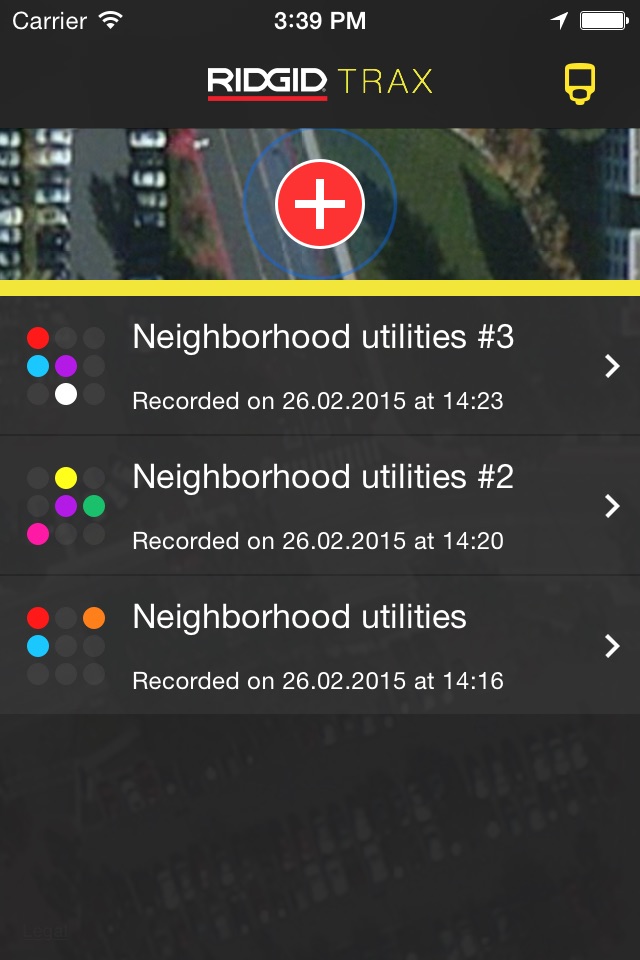
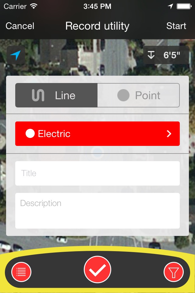
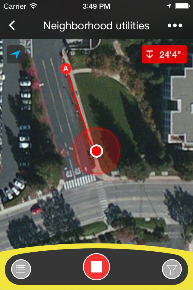
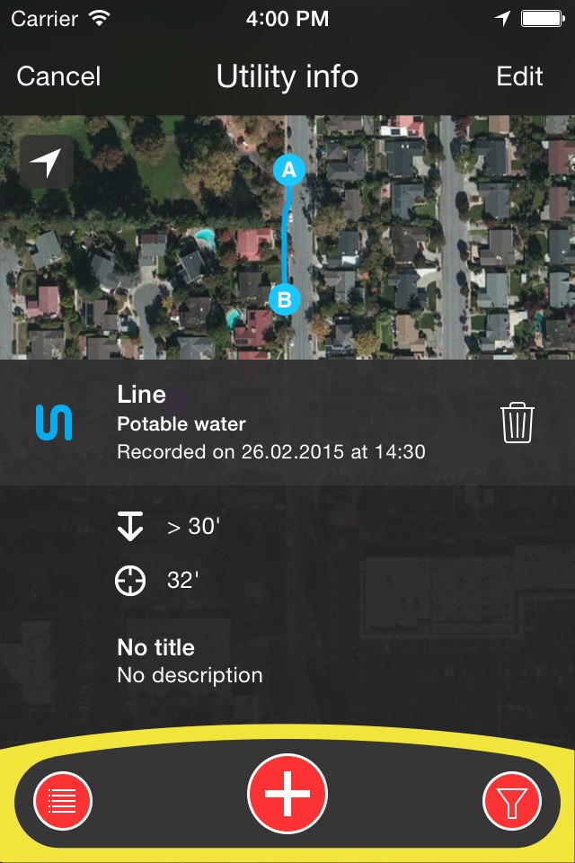
RIDGID Trax is a tool that allows for basic underground utility mapping in real-time. By wirelessly connecting a mobile device via Bluetooth to a RIDGID SR-24 Utility Locator, RIDGID Trax can provide the GPS position and depth of the target utility. Not only can you identify the type of utility, such as water, gas, or electric, but multiple utilities can also be displayed on the same map. Additionally, a finished map can be saved and viewed within the app, or exported to a *.KML file which can be used with popular GIS programs.